Norwegens arktischer Norden (2): Aerial Arctic
Lofoten, Jan Mayen and Spitsbergen from the air
Photobook: Norway's arctic islands. The text in this book is German, but there is very little text, so I am sure that you will enjoy it regardless which languages you read (or not).
Language: German
This book mainly contains photos. The little bits and pieces of text of the book are in German, but the photo pages (134 out of 137 pages) don’t have any text other than placenames.
This book is an aerial photo journey through the landscapes of arctic Norway: Lofoten, Jan Mayen and Spitsbergen (Svalbard).
Flying and seeing the Earth through a bird’s eye have been a dream of mankind for ages. Today’s technology allows us to enjoy the view from the sky without actually taking off ourselves.
Over years, Rolf Stange has made use of the opportunity to capture the beauty of arctic landscapes also in some remote and pretty hard-to-get-to places from above. In this photo book, he publishes a selection of his aerial photography from his presentation “Arctic Norway” for the first time in printing.
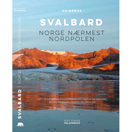
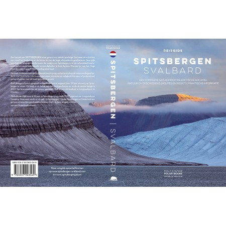
“Norwegens arktischer Norden (2): Aerial Arctic” is a photo book. The emphasis is clearly on the aerial photographs from remote corners of the Arctic: Jan Mayen and Svalbard. The book does not have any text beyond a few introductory lines, as to not distract the reader from enjoying beauty of the photography (for background information about Spitsbergen, please refer to my guidebook “Spitsbergen-Svalbard”, it is all written in there. If you read German, then there is also my Jan Mayen book to provide comprehensive background information about that fascinating island).
The images speak for themselves, as they deliver the stunning aesthetical values and impressive structures of arctic landscapes from the air, be it lava fields, volcanic craters and rugged coastlines on Jan Mayen, crevassed glaciers and rocky shores or rolling beaches in Spitsbergen. It was a special pleasure for me to focus on remote parts of Svalbard with my aerial photography and to include them in this book – rarely seen parts of Svalbard are the focus. This includes Rossøya (Svalbard’s northernmost islet), the barren coasts of Nordaustland, Storøya, Kvitøya, Bråsvelbreen … well, just have a look!
As the name “Norwegens arktischer Norden (2): Aerial Arctic” suggests, this is the second part of a little series of two photo books in which I will present the photographic essence of my presentation “Norwegens arktischer Norden”. The first part does not exist at the time being, that will come later. I was really looking forward to this second part with the aerial photography. And of course there is my Spitsbergen photobook Cold Beauty!
Reference NAN02 – Weight 0.35 kg – Dimensions: 21.00 x 15.50 cm
137
Pages
Softcover
binding
135
Colour photos
German
Language
Wunderschöne Aufnahmen und ein Zeitdokument
Im Jahr 1994 hatte ich das Glück im Zusammenhang mit meinem Geographiestudium 2 Wochen im Liefdefjorden (Rooshallet) und 2 Wochen im Sassenfjorden (Gipshukodden) verbringen zu können. Für uns wäre die Möglichkeit zur Nutzung einer Drohne ein Traum gewesen. Daher habe ich mich besonders auf den Bildband "NORWEGENS ARKTISCHER NORDEN" gefreut. Endlich kann ich einige der mir bekannten Orte auf Spitzbergen aus der Vogelperspektive betrachten. Die Bilder sind wirklich von ausgezeichnter Qualität. Gleichzeitig handelt es sich aber auch um Dokumente die Auskunft über die Veränderung einer Landschaft geben. 1994 war der Monacobreen noch weiträumig mit dem Seligerbreen verbunden. Die "Neuen Inseln" (Seite 78 & 79) am Seligerbreen gab es zu dem Zeitpunkt noch nicht. Sie lagen noch komplett unter Eis.
Der Autor versieht das Buch mit kleinen Karten die Auskunft über den Aufnahmeort geben. Dadurch wird ein sehr guter Eindruck zu den verschiedenen geologischen und klimatischen Regionen der Inselgruppe vermittelt. Mein Traumziel sind immer noch die beiden Inseln Barentsoya und Edgeoya. Die Bilder der Seiten 124 bis 126 sind einfach nur wunderschön und vermitteln einen tollen Eindruck der Region. Da der Autor ja selber Diplom-Geograph ist war ein doppelseitiges Bild des Büdelfjellet wohl Pflicht (Spaß).
Es fällt auf das viele der Bilder fast komplett wolkenfrei sind. Das ist auf Spitzbergen gar nicht so einfach. Da hat jemand wirklich viel Zeit und Herzblut investiert. Von mir daher volle fünf Sterne und eine dicke Empfehlung.
Beeindruckend
Wie gern hätte ich meine Drohne dabeigehabt, als ich auf Spitzbergen war.
Leider - wenn auch verständlich - ist die Nutzung von Drohnen dort so reglementiert, dass es für den "Normaltouristen" fast nicht möglich ist, diese aufsteigen zu lassen.
Natürlich finde ich das richtig, gerade bei den Witterungsverhältnissen auf dem Archipel wäre dieser sonst mittlerweile wahrscheinlich mit abgestürzten Drohnen vermüllt.
Dank Restriktionen wie dieser ist es erst möglich, dass es uns als Touristen erlaubt ist, Spitzbergen zu besuchen.
Umso schöner, dass es dieses Buch gibt, dass Luftaufnahmen zeigt, die sowohl beeindrucken als auch neugierig machen und eine neue Perspektive auf u.U. schon aus der Rentierperspektive :) bekannte Orte ermöglichen.
Auch eine gelungene Ergänzung zu Teil 1 der Reihe "Norwegens arktischer Norden" (oder umgekehrt?). :)
Egal, ich habe beide zu Hause und möchte keines missen. Interessant auch, beide gleichzeitig zu lesen und zu betrachten und so verschiedene Perspektiven derselben Orte zu sehen.
Würde ich jederzeit wieder kaufen ... Wer weiß, vielleicht tue ich das auch nochmal - man braucht ja immer mal etwas Schönes zum Verschenken.